Geography


Program Description


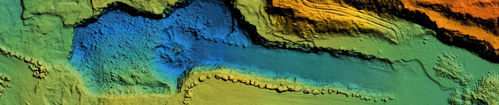
An Associate in Science (AS) degree in Geography emphasizes learning about diverse cultures, physical landscapes, and geospatial tools. This major offers a diverse program focusing on contemporary, local, and world issues. Students will learn to leverage their knowledge of cultural and physical processes and digital modeling techniques to focus on the effects of space and place and interpret any landscape using an inherently geospatial approach.

Graduates of this program will successfully complete the following learning outcomes:

  • Analyze the controls, distribution, and classification of world climates
  • Compare and contrast different types of landforms
  • Analyze spatially related problems related to current/recent geopolitical events
  • Use spatial thinking to analyze the human organization of space
  • Understand the associations and networks among phenomena in particular places
  • Recognize and interpret the relationships among patterns and processes at different scales of analysis
  • Formulate a geospatial question, and determine the selection of, and impact on affected stakeholders
  • Describe and explain the relevant physical and human data needed to answer a geospatial question
  • Acquire, represent, and process relevant geospatial data
  • Apply analytical models to interpret and explain the patterns, processes, and interrelationships represented by geospatial data
  • Assess and present results of geospatial analysis

Have questions about this program?

Schedule Now
You'll need an AWC account to schedule a meeting. Apply now.

Degree(s) / Certificates(s)


Title Local Bachelor's
Geography - A.S. Transfer Degree -

Career Outlook


Successful completion of this program may lead to a variety of employment opportunities, most of which require continued higher education at the university level. Below are examples of related occupations and annual mean wages in Arizona according to a May 2020 State Occupational Employment and Wage Estimates Report from the U.S. Bureau of Labor Statistics.

Forest and Conservation Technicians
Provide technical assistance regarding the conservation of soil, water, forests, or related natural resources. May compile data pertaining to size, content, condition, and other characteristics of forest tracts under the direction of foresters, or train and lead forest workers in forest propagation and fire prevention and suppression. May assist conservation scientists in managing, improving, and protecting rangelands and wildlife habitats.
$40,630
Geological Technicians
Assist scientists or engineers in the use of electronic, sonic, or nuclear measuring instruments in laboratory, exploration, and production activities to obtain data indicating resources such as metallic ore, minerals, gas, coal, or petroleum. Analyze mud and drill cuttings. Chart pressure, temperature, and other characteristics of wells or bore holes.
$44,690
Hydrologic Technicians
Collect and organize data concerning the distribution and circulation of ground and surface water, and data on its physical, chemical, and biological properties. Measure and report on flow rates and ground water levels, maintain field equipment, collect water samples, install and collect sampling equipment, and process samples for shipment to testing laboratories. May collect data on behalf of hydrologists, engineers, developers, government agencies, or agriculture.
$44,690
Foresters
Manage public and private forested lands for economic, recreational, and conservation purposes. May inventory the type, amount, and location of standing timber, appraise the timber's worth, negotiate the purchase, and draw up contracts for procurement. May determine how to conserve wildlife habitats, creek beds, water quality, and soil stability, and how best to comply with environmental regulations. May devise plans for planting and growing new trees, monitor trees for healthy growth, and determine optimal harvesting schedules.
$57,340
Anthropologists and Archeologists 
Study the origin, development, and behavior of human beings. May study the way of life, language, or physical characteristics of people in various parts of the world. May engage in systematic recovery and examination of material evidence, such as tools or pottery remaining from past human cultures, in order to determine the history, customs, and living habits of earlier civilizations.
$61,340
Cartographers and Photogrammetrists 
Research, study, and prepare maps and other spatial data in digital or graphic form for one or more purposes, such as legal, social, political, educational, and design purposes. May work with Geographic Information Systems (GIS). May design and evaluate algorithms, data structures, and user interfaces for GIS and mapping systems. May collect, analyze, and interpret geographic information provided by geodetic surveys, aerial photographs, and satellite data.global.
$65,570
Urban and Regional Planners 
Develop comprehensive plans and programs for use of land and physical facilities of jurisdictions, such as towns, cities, counties, and metropolitan areas.
$69,630
Hydrologists
Research the distribution, circulation, and physical properties of underground and surface waters; and study the form and intensity of precipitation and its rate of infiltration into the soil, movement through the earth, and return to the ocean and atmosphere.
$78,440
Civil Engineers 
Perform engineering duties in planning, designing, and overseeing construction and maintenance of building structures and facilities, such as roads, railroads, airports, bridges, harbors, channels, dams, irrigation projects, pipelines, power plants, and water and sewage systems. Includes architectural, structural, traffic, and geotechnical engineers. 
$83,680
Geoscientists
Study the composition, structure, and other physical aspects of the Earth. May use geological, physics, and mathematics knowledge in exploration for oil, gas, minerals, or underground water; or in waste disposal, land reclamation, or other environmental problems. May study the Earth's internal composition, atmospheres, and oceans, and its magnetic, electrical, and gravitational forces. Includes mineralogists, paleontologists, stratigraphers, geodesists, and seismologists.
Successful completion of this program may lead to employment in a variety of different occupations and industries. Check the above for additional information.

Contact Information


Department Contact(s)

Science


Hours of Operation
Faculty/Staff Contact(s)
Name Title Phone Email
Fred Croxen Professor of Geology (928) 344-7586 fred.croxen@azwestern.edu
Tracy Knudson Administrative Assistant IV (928) 317-7107 Tracy.Knudson@azwestern.edu