Drones and Geospatial Technology


Program Description


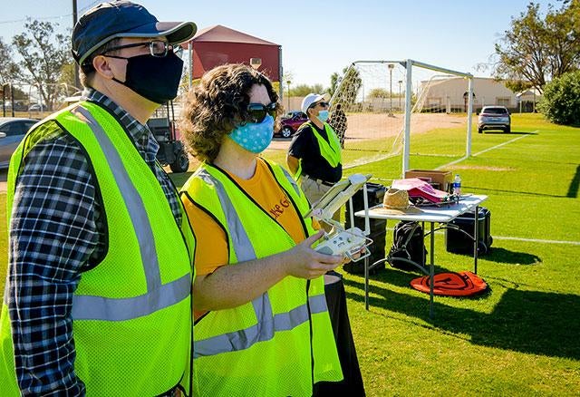
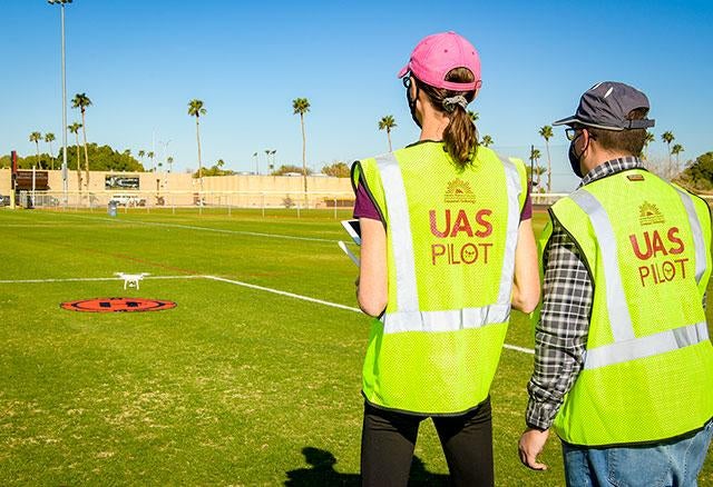
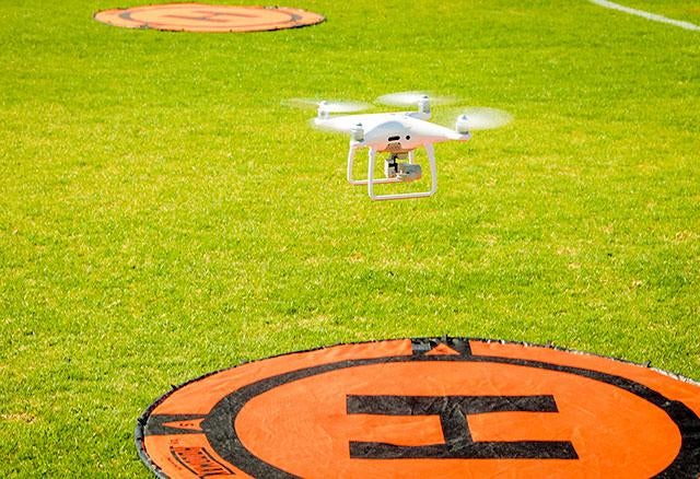
The drones and geospatial technology programs are designed to prepare students for careers in the field of Unmanned Aerial Systems (UAS) and Geospatial Technology GIS. The operations of UAS have a variety of research and commercial uses, with rapid growth and continually evolving applications.  The UAS program emphasizes remote observation with aviation fundamentals and complete knowledge on aviation safety and FAA regulations. With the knowledge and skills needed to develop and manage geospatial technology projects and implement GIS as a dynamic system for decision making and establishment of policies, students will be able to pursue entry level careers in UAS and or GIS.

Our certificates will provide students with a wide range of skills and gain industry-specific experience in:

  • Aviation fundamentals, aviation safety, and FAA regulations.
  • Collecting, integrating, and manipulating geospatial data, using technologies such as aerial photography, light and radio wave detection systems, digital satellites, or thermal energy systems.
  • Adjusting remotely sensed images for optimum presentation by using software to select image displays, define image set categories, or choose processing routines.
  • Constructing mapping projects.
  • Preparing documentation or presentations, including charts, photos, or graphs.
  • Designing graphic representations of Geographic Information Systems (GIS) data, using GIS hardware or software applications.
  • Analyzing Geographic Information Systems (GIS) data to identify spatial relationships or display results of analyses, using maps, graphs, or tabular data.
  • Maintaining and modifing existing Geographic Information Systems (GIS) databases.
  • Entering data into Geographic Information Systems (GIS) databases, using techniques such as coordinate geometry, keyboard entry of tabular data, manual digitizing of maps, scanning or automatic conversion to vectors, or conversion of other sources of digital data.

Degree(s) / Certificates(s)


Title Local Bachelor's
Drone Operations and Imaging - CERT Occupational Certificate -
Basic Geospatial Technology - CERT Occupational Certificate -
Advanced Geospatial Technology - CERT Occupational Certificate -

Career Outlook


Successful completion of the drones or geospatial certificates may lead to employment in a variety of different occupations and industries. Below are examples of related occupations and annual median wages*.

Unmanned Aerial Vehicle (UAV) Pilots
UAV pilots are FAA Part 107 Certified Commercial Licensed pilots that conduct flight missions in a safe and proper operation.  A pilot plans and executes missions that collect imagery, both still and video, and processes the imagery for a variety of applications.  Applications can include, surveying and mapping, marketing and cinematography, law enforcement assistance and search and rescue, agriculture, wildlife monitoring, infrastructure inspections, forestry, fire fighting and future package delivery services. 
$68,000
GIS Technician
Geographic Information Systems (GIS) Technicians must be knowledgeable with map projections, coordinate systems, and cartographic principles.  Additionally, GIS Technicians digitize maps, collect spatial data from surveys or GPS field capture, maintain geospatial databases, and perform spatial analyses. 
$50,000
Successful completion of this program may lead to employment in a variety of different occupations and industries. Check the above for additional information.

Program Photos


Contact Information


Faculty/Staff Contact(s)
Name Title Phone Email
Fred Croxen Professor of Geology (928) 344-7586 fred.croxen@azwestern.edu
Tracy Knudson Administrative Assistant IV (928) 317-7107 Tracy.Knudson@azwestern.edu