
News
Local Expert brings Small Unmanned Aerial Systems classes to AWC Yuma Campus
August 9, 2018Yuma, AZ (August 7, 2018) – Small unmanned aerial systems, 55 lbs. and less, are changing the way businesses and industries work. However, for people who want to utilize the machines in their workplace or for individuals simply interested in learning more about the technology, it’s imperative that users gain an understanding of how to operate the equipment safely and correctly.
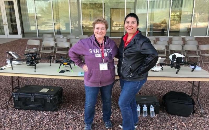
That’s why Bridget Johanning is teaching courses as an adjunct faculty member for the new Small Unmanned Aerial Systems (UAS) certificate program that’s being offered for the first time at Arizona Western College this fall.
Johanning became interested in UAS technology when she realized how it would help her work more efficiently to create maps in her job as a Cartographic Technician/ Geospatial Information Systems (GIS) Specialist with the U.S. Bureau of Reclamation. She then completed the Professional Program in Small Unmanned Aircraft Systems at Embry-Riddle Aeronautical University to learn about the regulations behind using drones and how to get imagery faster than ever before. She also earned her Federal Aviation Administration Part 107 UAS Certification.
“Working in the geospatial world, historically, we would have to wait two years for new aerial imagery,” said Johanning. “With drones, we can update our maps, data, and construction projects faster. People want accurate and up to date information now, not in two years.”
The Unmanned Aerial Systems (UAS) concentration will prepare students for careers in the rapidly growing field of UAS, including operations, remote sensing, data collection and analysis. Students in the program will develop skills to manage and plan flight operations as well as collect and process imagery data in line with Federal Aviation Administration (FAA) regulations. Operations of UAS have a variety of research and commercial uses in multiple applications including agriculture, natural and cultural resources management, emergency response, aerial videography and photography. Entry level salary for Cartographic Technician/ Geospatial Information Systems (GIS) Specialist starts at $45,000 and ranges up to $95,000.
The 8-week Introduction to UAS course taught by Johanning will begin Aug. 20 and is offered on evenings and weekends. Adjunct faculty member Todd Pinnt will be teaching the next 8-week course in the program, UAS Pilot Ground School, which begins Oct. 15 also and is also offered evenings and weekends.
Johanning shared that students can complete the two-semester UAS certificate program in addition to the new, two-semester Geospatial Technologies Specialist or Geospatial Technologies Technician certification programs, to help students learn more about how to use and apply information gathered by UAS equipment.
To help get younger generations interested in these fields, Johanning has partnered with Pinnt for two years to showcase the profession through a GIS Day at Cibola High School reaching over 2,000 students each time. Recently in June, the Yuma Union High School District governing board accepted $4.1 million in funds from the Southwest Technical Education District of Yuma (STEDY) to be used for multiple career and technical education courses, one of which was for an engineering class at Cibola that will feed into a new drone program. Johanning shared that it’s important to get students introduced to the field at a young age to see if it’s something they would like to pursue.
“I want to spark the youth to get interested in these STEM fields, especially girls,” said Johanning. “Whenever we did outreach events, there were several girls that were interested, and for me that’s going to be my push, to get more females in the industry and to get them interested at a young age, because I’ve been in an industry that’s been generally men for the last 22 years.”
In addition to her work with youth, she’s also united area GIS professionals through holding quarterly meetings and was selected by Governor Doug Ducey in 2016 to be on the Arizona Geographic Information Council. Additionally, she has initiated a local Sky Squad Club of members with certifications that share up-to-date information and get together to fly their small, unmanned aircraft.